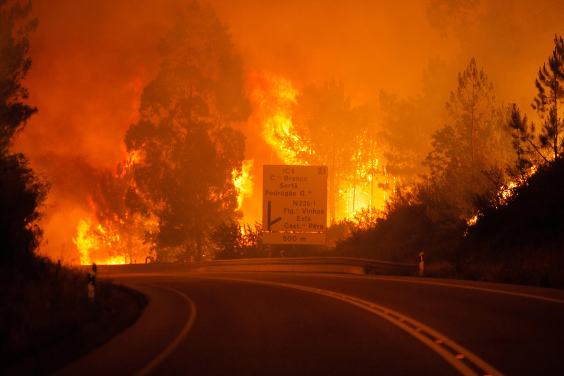
TWITTER-BOT CAN TRACKED FOREST FIRE
The American company Descartes Labs has created a twitter bot that can track data on the occurrence of fires throughout the United States. For this, twitter bot uses images from the geostationary satellite.
The Twitter bot automatically tracks various fire messages on the InciWeb service, which specializes in collecting information about natural disasters. Next, the bot selects pictures from a certain area or region in the base of the images of the research satellite GOES 16.
After that the bot creates animations in the visible and infrared bands, as well as imposes an image of an ordinary map with the boundaries of cities, roads, etc. The Twitter bot publishes tweets every 6 hours and automatically adds hashtags to them.
The development will help not only track the spread of fire, but also make a plan for the timely evacuation of the inhabitants.


